Industry-Specific Solutions
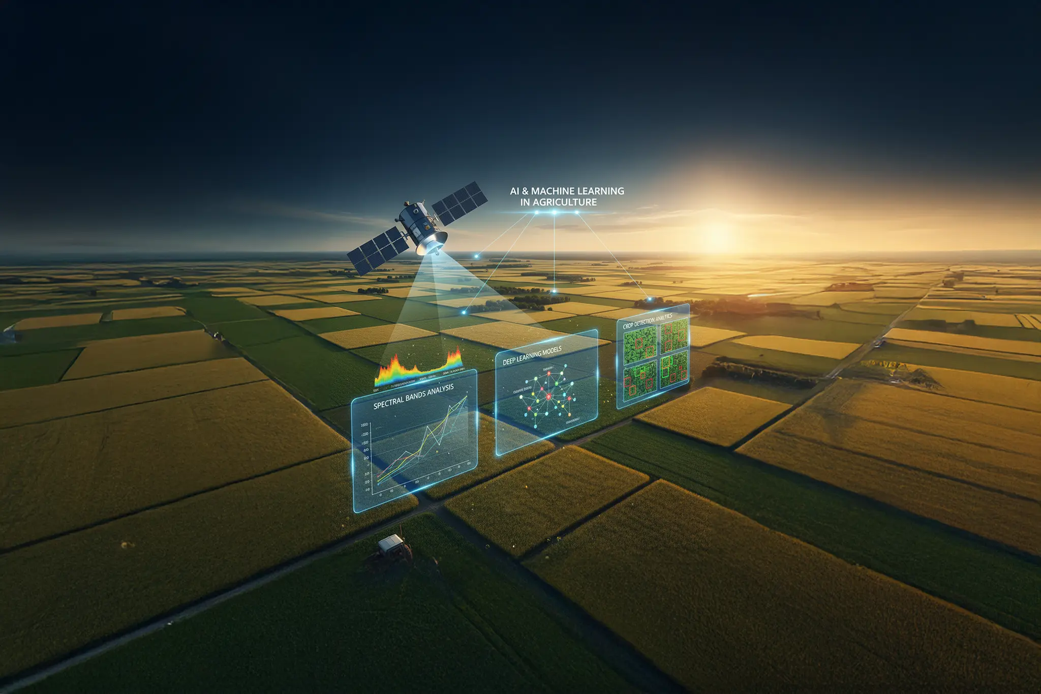
Agriculture & Precision Farming
Optimize crop yields with satellite imagery analysis, field mapping, and predictive weather models.
- Multispectral crop analysis
- Yield prediction models
- Pest and disease detection
- Resource optimization

Logistics & Supply Chain
Streamline operations with real-time fleet tracking, route optimization, and inventory location visibility.
- Real-time fleet tracking
- Route optimization
- Delivery confirmation
- Asset management

Urban Planning & Development
Enhance city management with 3D mapping, land use analysis, and infrastructure planning tools.
- 3D city models
- Land use mapping
- Infrastructure planning
- Zoning analysis

Environmental Monitoring
Monitor environmental impact with satellite data analysis, carbon tracking, and ecosystem modeling.
- Emissions tracking
- Forest cover analysis
- Water resource mapping
- Climate data integration